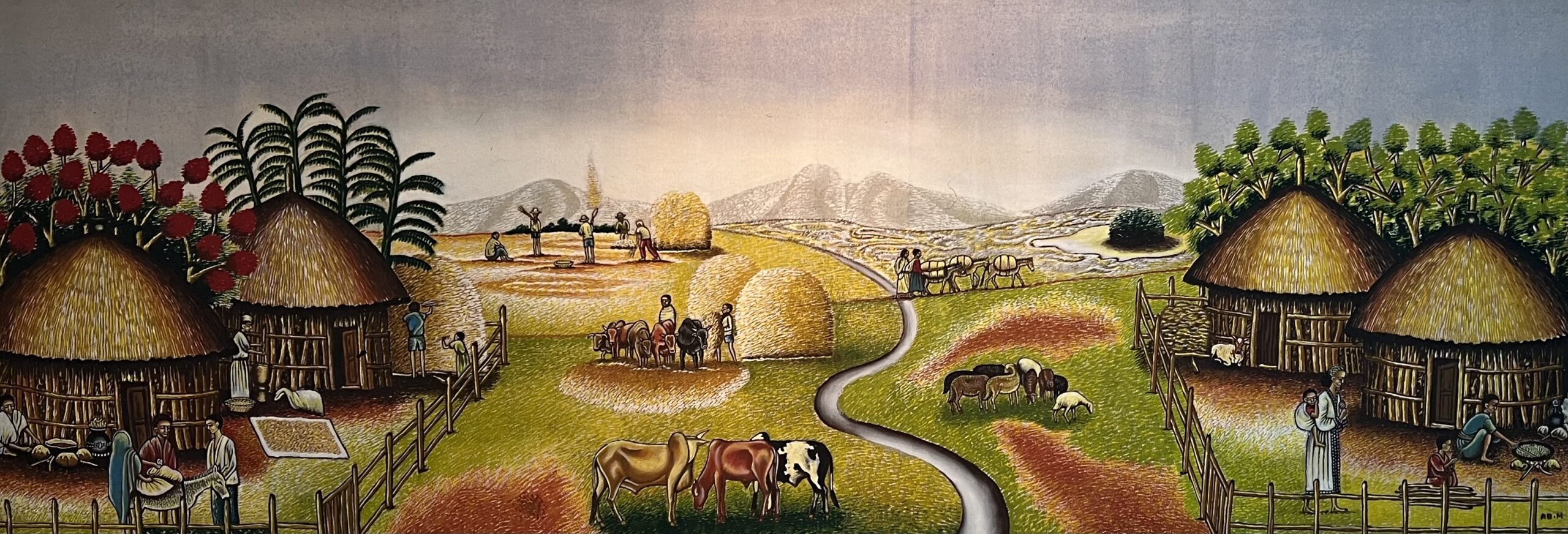
Ethiopia is home to a remarkably diverse landscape, including vast stretches of fertile farmland. The rich lowlands are dotted with lakes and serve as key centers for the country’s agricultural production. To the north, the Ethiopian Highlands rise dramatically, featuring sharp, plateau-topped mountains. This region includes Lake Tana, the source of the Blue Nile—one of the main tributaries of the Nile River.
The Western Highlands are Ethiopia’s most rugged and expansive terrain, while the north-central region is home to the country’s highest peak, Mount Ras Dashen, standing at 14,872 feet. Just 10,000 feet below lie deep river channels that originate from Lake Tana. The Great Rift Valley, stretching through the country, showcases extraordinary geographic variety. To the north lies the Danakil Depression—one of the hottest, driest, and lowest places on Earth. In the south, several large lakes cover more than 1,200 square miles of water surface.
Ethiopia also boasts more UNESCO World Heritage sites than any other African nation and is home to numerous national parks that protect its rich cultural and ecological heritage.